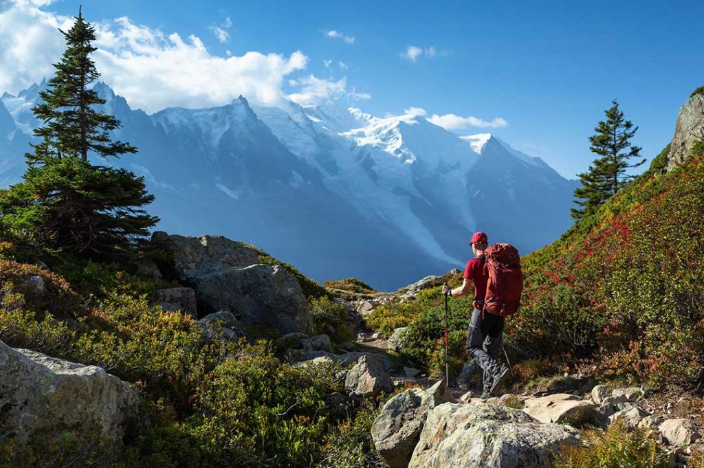
Options for easy hikes at lower altitudes in Chamonix;
Argentiere – le Planet – Argentiere
- Start point … chemin du vieux four, Argentiere … begin hike by walking in the direction of Chamonix
- Turn left at chalet le Marti into chemin de la moraine
- Continue straight ahead about 500m’s and continue under train bridge onto chemin des Rambles (gravel road)
- Go up track and take the walking track (behind the 2nd chalet on the left)
- Follow hiking trail signs and continue to the hamlet of le Planet in direction of le Tour
- At le Planet, go down thru the residential part of the hamlet and follow the hiking trails signs that take you back into Argentiere whereby you return in a loop manner via chemin du vieux four.
- Check following link for hiking route – Argentiere -> le Planet -> Argentiere
Le Lavancher to Refuge Chapeau
- Drive to hamlet of le Lavancher
- Continue driving up the road until you can’t drive any further … park your car [here]
- Then walk up and back on same track to the refuge buvette Chapeau .. approx 45 mins each way
- The refuge is open for refreshments and is also a good spot for lunch / dinner with great views over Chamonix Town (reservation recommended).
- Option to continue to a viewing platform of Mer du Glace (approx. 15 mins past buvette).
- Check the following links – Facebook | Instagram 1 | Instagram 2(For a longer option, you can also take the walking track Petit Balcon Nord from Argentiere to le Lavancher … plan for 1hr extra each way from Argentiere to le Lavancher and back to Argentiere again)
(For a longer option, you can also take the walking track Petit Balcon Nord from Argentiere to le Lavancher … plan for 1hr extra each way from Argentiere to le Lavancher and back to Argentiere again).
Les Nants Chamonix to Refuge Floria
- Start in Chamonix in the hamlet of les Nants – google maps coordinates [here]
- Look for hiking track to chalet de la Floria
- Nice, easy and scenic walk up and back on same track … approx 45 mins each way … incredible panoramic views along the track with lots of shade for hot sunny days … refreshments and lunch options available at chalet de la Floria
- Check the following links – Instagram or Facebook
Le Buet to Cascades de Berard
- Drive or take train to hamlet of le Buet (over col des Montets)
- Park at le Buet train station – google maps coordinates – https://goo.gl/maps/PRrPHAxvmmpnwtfz6
- Walk up the Berard valley approximately 30 mins until you reach the scenic waterfalls – cascades a berard
- You will also find the buvette de la cascades de berard for refreshments and food options [here]
- *Historical cave to visit behind the buvette de la cascades
(From cascades you can return the way you came or you can complete an easy scenic route as explained below) - Continue past the cascades and go up the Berard Valley approximately 15 mins before crossing the river at trail point marked Fontana Freda alt 1518m.
- After crossing the river bridge, loop back down the valley and follow hiking trail signs to hamlet of Sur le Rocher
- At Sur le Rocher you can descent back to le Buet or continue a little higher to hamlet of les Granges before heading back to le Buet again.
- Upon return, take a beer or snack/meal at the iconic Le Buet Hotel … this historical hotel dates back to days when there were no roads but only a hiking trail that connected Le Buet to the Chamonix Valley (ask back tender for a look at the photo album that outlines history of the hotel). The outdoor beer garden is a fantastic place to have a small relax after your hike.
- Check the following links – Instagram or Facebook
I hope this helps … HAPPY ADVENTURES!!!!!!
